Ellis Berger · 8 September 2026
Tracing the Evolution of Waterfront Infrastructure Through Archival Records
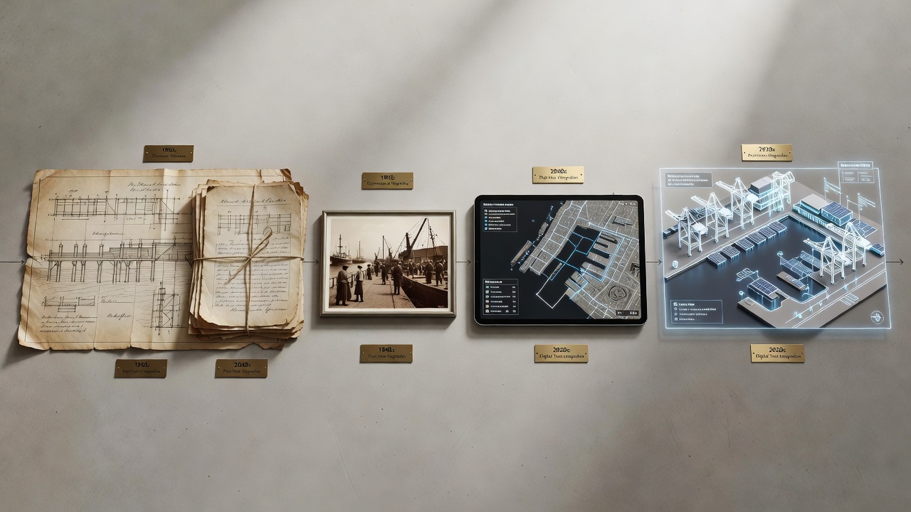
Archival records provide the primary evidence for understanding how waterfront infrastructure has changed across centuries, and researchers rely on maps, photographs, engineering drawings, and municipal ledgers to reconstruct these shifts. Cities such as New York, Rotterdam, and Sydney maintain extensive collections that document the transition from simple wooden wharves to reinforced concrete terminals and container facilities, while government agencies digitize portions of these holdings to support comparative studies.
Early Documentation Methods
Surveyors in the 18th and 19th centuries produced detailed hydrographic charts that recorded water depths, pier lengths, and shoreline positions, and these documents now serve as baseline data for tracking land reclamation and port expansion. The National Archives in the United States holds thousands of such charts covering Atlantic and Pacific harbors, allowing analysts to measure incremental changes in dock configurations between 1800 and 1900. European institutions, including those managed by the Dutch National Archives, preserve similar records for North Sea ports where engineers first introduced pile-driving techniques that later spread to other regions.
Industrial Expansion Captured in Records
Photographic collections from the late 1800s onward show the rapid replacement of timber structures with iron and steel frameworks, and these images align with engineering reports that specify load capacities and material specifications. Railroad companies kept detailed ledgers noting cargo volumes and vessel drafts, and these statistics reveal how waterfront facilities adapted to larger steamships and increased trade. Observers note that many municipalities required annual inspections recorded in bound volumes, creating continuous datasets that track maintenance cycles and structural repairs over decades.
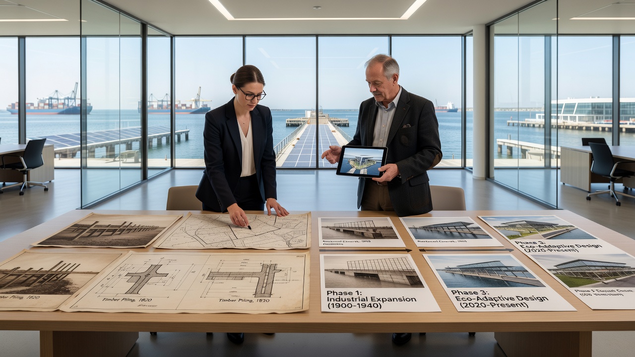
By the mid-20th century, aerial photography supplemented ground-level surveys, and military reconnaissance flights produced overlapping images that cartographers later used to create topographic maps of coastal zones. Researchers cross-reference these aerial views with port authority minutes to determine exact dates when new berths opened or old ones were decommissioned.
Digital Integration and Analysis Techniques
Institutions have begun overlaying historical maps onto current geographic information systems, and this process highlights areas where natural shorelines gave way to artificial fill. The European Environment Agency maintains an online portal that combines 19th-century charts with contemporary satellite imagery for selected Mediterranean and Baltic ports, enabling measurements of shoreline advancement at rates exceeding several meters per decade in some locations. Similar projects in Australia draw on records held by the National Library of Australia to examine how Sydney Harbour evolved from sail-era jetties to modern container terminals.
Textual records such as insurance surveys and customs declarations supply quantitative data on vessel traffic and commodity flows, and these figures help explain why certain piers received upgrades while others fell into disuse. A project launched in September 2026 by a consortium of North American libraries will release additional digitized inspection reports covering Great Lakes waterfronts, extending the temporal range of available datasets.
Case Examples from Multiple Regions
In one documented sequence, records show that the Port of Hamburg replaced timber quays with masonry walls between 1880 and 1910 to accommodate deeper-draft vessels, and surviving correspondence between engineers and city officials details the funding mechanisms and construction timelines. Parallel developments appear in records from Canadian ports where federal harbor commissions tracked similar transitions using standardized forms introduced in the 1890s. These examples illustrate how archival materials from different jurisdictions can be compared to identify shared technological patterns.
Conclusion
Archival records continue to supply verifiable evidence of waterfront infrastructure evolution, and ongoing digitization efforts expand access to previously localized collections. Government agencies and research institutions across multiple continents maintain these sources, supporting analyses that connect historical construction practices with present-day coastal management decisions. The integration of maps, photographs, and administrative documents provides a factual foundation for understanding long-term changes in harbor layouts and structural technologies.