Community Volunteer Programs Using Smartphone Apps to Catalog Erosion Patterns at Legacy Harbor Sites
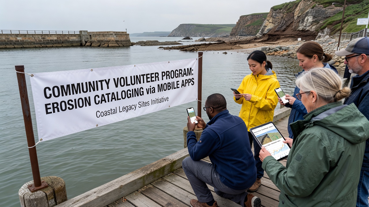
Community volunteer programs have expanded in recent years as smartphone applications enable systematic recording of erosion at legacy harbor sites. These initiatives bring together local residents, researchers, and regional agencies to document changes in waterfront structures across North America, Europe, and Australia. Data collection focuses on measurable indicators such as sediment loss, crack progression, and displacement of original masonry or timber elements. Apps developed for these projects integrate GPS tagging, timestamped photography, and basic measurement tools that allow contributors to submit standardized observations without specialized equipment. Participants receive training through online modules that explain how to identify erosion features and how to frame images for consistent comparison across submissions. The resulting datasets feed into larger coastal management databases maintained by government bodies and academic institutions.
Regional Implementation Across Coastal Zones
Programs operate in distinct geographic clusters where legacy harbors face ongoing exposure to wave action and tidal shifts. In the northeastern United States, volunteers monitor sites along the Maine and Massachusetts coastlines where 19th-century granite piers show progressive undercutting. Similar efforts in the United Kingdom and northern France track changes at medieval and industrial-era landing stages exposed to increased storm frequency. Australian projects concentrate on 19th-century timber jetties in Victoria and New South Wales, where salt intrusion accelerates timber decay. Each region adapts the core application to local conditions by adding fields for specific material types and tidal zones. Data flows from individual uploads into centralized repositories that researchers query for trend analysis. One study coordinated by university teams in three countries demonstrated that volunteer-collected imagery matched professional surveys in 87 percent of cases when protocols were followed.
Technology Features and Data Standards
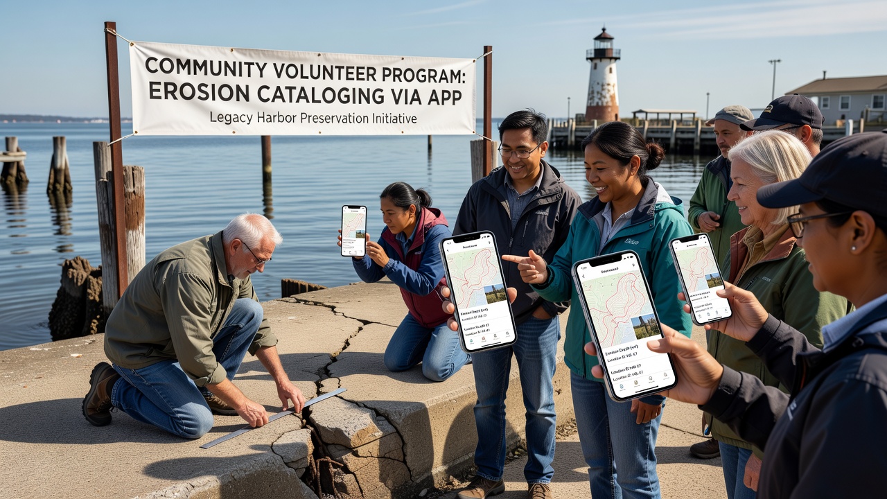
Smartphone apps used in these programs incorporate features such as standardized photo overlays, scale references, and automated metadata capture. Users align a digital grid over the subject to estimate crack widths or material loss percentages before submission. Backend systems apply quality filters that flag incomplete entries or images lacking proper geolocation for review by moderators. According to guidance from the National Oceanic and Atmospheric Administration, consistent documentation practices improve the reliability of citizen-generated coastal datasets for long-term planning. The European Environment Agency has published parallel recommendations that emphasize metadata completeness when integrating volunteer observations into pan-European shoreline monitoring frameworks.
September 2026 Data Collection Push
A coordinated international upload period scheduled for September 2026 aims to gather baseline measurements ahead of predicted seasonal storm activity. Organizers expect several thousand new records from participating harbors in the United States, Canada, the Netherlands, and Tasmania. Project leads have prepared updated app versions that include prompts for recording post-storm conditions within 48 hours of major events. Previous synchronized collection windows produced datasets that revealed accelerated erosion at sites previously considered stable. Those findings prompted targeted reinforcement projects at two locations in the Pacific Northwest and one in the Baltic region.
Training, Participation, and Quality Control
Volunteer retention depends on clear communication of how submitted data influences preservation decisions. Programs offer monthly webinars that review recent uploads and discuss emerging patterns, such as differential erosion rates between exposed and sheltered sections of the same harbor. New participants begin with supervised field sessions where experienced volunteers demonstrate proper framing techniques and data entry sequences. Quality control teams sample submissions each quarter and compare them against repeat professional surveys. Discrepancies trigger additional training materials or revised app instructions. This iterative process has reduced submission errors over successive seasons while maintaining broad public involvement.
Integration With Broader Coastal Research
Datasets generated through these apps complement satellite imagery and LiDAR surveys by supplying fine-scale detail at specific structures. Researchers combine volunteer records with tide gauge readings and wave modeling outputs to refine predictive models of harbor deterioration. Several regional planning authorities now incorporate these combined datasets when prioritizing maintenance budgets for historic waterfront infrastructure. Conclusion
Community volunteer programs that employ smartphone applications have established repeatable methods for documenting erosion at legacy harbor sites across multiple coastal regions. The approach supplies granular, regularly updated information that supports both scientific analysis and practical preservation decisions. Continued expansion of these networks through standardized protocols and scheduled collection periods is expected to strengthen the evidence base available to coastal managers through 2026 and beyond.